

How to Manage a SWPPP Map Effectively
SWPPP Map Considerations
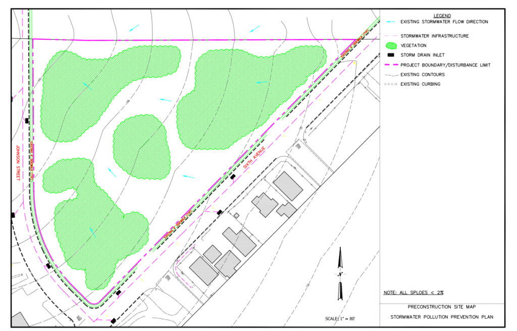
Stormwater maps may be one of the first things a regulator will look at. You will need one map or a series of maps depending on the complexity of the site. You need a map or maps showing the existing conditions of the site. These maps should show what is in place prior to construction. They should show any existing buildings, the topography, vegetation, drainage patterns, and slopes.
This is an example of what an existing conditions map may look like.
Stormwater Map Requirements
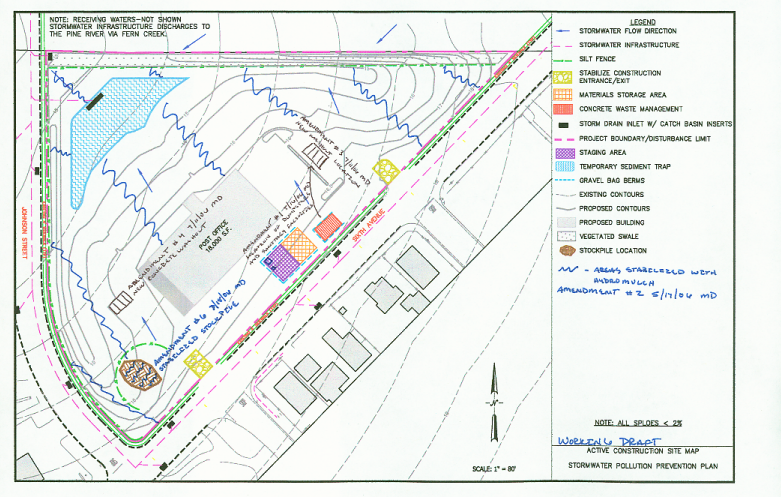
After each inspection during construction, the map should match what is actually on the site. A regulator will follow the map to see that it matches what is on site. A construction project may do maps by the construction phase or use multiple maps – how you do the maps depends on the complexity of the construction project. Here is a list of map requirements taken from the EPA construction general permit for stormwater:
- Site boundaries
- Areas of disturbance – the dates of disturbance once construction begins
- Slopes
- Stockpiles
- Surface waters including wetlands
- Designated vehicle exit points
- Boundaries of natural buffers around surface waters
- Non-stormwater activities
- Drainage patterns
- Storm drain inlets
- Underground injection controls
- Discharge locations
- Sensitive areas
- Location pollutants
- Storage
- Support activities
- All BMPs
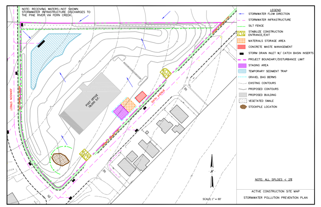
Here is a sample of a commercial site map for inclusion in the SWPPP and at the beginning of construction. The Legend identifies the various items.
This map is for a commercial site during construction, showing map updates.
Maps from https://www3.epa.gov/npdes/pubs/exampleswppp_smallcommercial_app.pdf